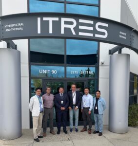
National Forest Centre in Slovakia expands airborne capabilities with ITRES high-fidelity hyperspectral sensors
We’re excited to share the news that the National Forest Centre (NFC) in Zvolen, Slovakia has strengthened its aerial mapping capabilities with two high-fidelity ITRES sensors — the SAVI-1000, a single-detector VIS-SWIR hyperspectral sensor, and the TABI-1800, a high-resolution thermal sensor.
These state-of-the-art sensors enhance NFC’s remote sensing capability with high SNR spectral and thermal data, driving smarter forest monitoring, ecosystem assessment, and resource management. The data will empower NFC to manage Slovakian forests more efficiently and extend the possibility to investigate their characteristics.
This partnership opens new possibilities for hyperspectral innovation in forestry, environmental monitoring, and land-use mapping. Governed by the Ministry of Agriculture and Rural Development of the Slovak Republic, the NFC leads sustainable forestry initiatives using multispectral cameras, LiDAR, and advanced photogrammetric technologies. Together, ITRES and NFC are turning light into insight, advancing sustainability through precision airborne sensing.
About National Forest CentreNational Forest Centre is a state-owned public-benefit corporation governed by the Ministry of Agriculture and Rural Development of the Slovak Republic. NFC is the national authority in the field of forestry, wildlife management and the wood industry. It addresses national and international research projects, taking part directly in implementation of monitoring of the health of forests, national inventory of forests and monitoring the state of forest ecosystems and their components. It is a task leader regarding development of forest management planning. It is also responsible for the information system of forestry management administration, forestry mapping and finally for producing the Slovakian countrywide forest thematic map. Forestry mapping is currently undertaken using modern airborne hybrid technologies such as digital large format camera, laser scanners and for the data processing, the latest advanced photogrammetric methods and software.
About ITRES Research LtdITRES is the longest-established commercial hyperspectral company in the world, based in Calgary, Alberta, Canada.At ITRES, our commitment is to lead the commercial airborne remote sensing industry through innovation and thereby provide our clients with the highest-performing hyperspectral and thermal airborne mapping imagers available anywhere, without compromise. We’ve been doing this since our inception, more than four decades ago.


