logo dark logo light logo
  • Products
    • Sensor Line 1: High Fidelity Hyperspectral Sensor Systems
    • Sensor Line 2: Micro Imagers
    • Sensor Line 3: Sensors For Space (BBM)
    • Airborne Surveys
    • Supporting Products
  • Applications
  • About
    • Why ITRES
    • Quality Management
    • Our History
    • ITRES In The World
    • Legal
  • Gallery
  • Video
  • News
  • Careers
Contact
mobile logo
  • Products
    • Sensor Line 1: High Fidelity Hyperspectral Sensor Systems
    • Sensor Line 2: Micro Imagers
    • Sensor Line 3: Sensors For Space (BBM)
    • Airborne Surveys
    • Supporting Products
  • Applications
  • About
    • Why ITRES
    • Quality Management
    • Our History
    • ITRES In The World
    • Legal
  • Gallery
  • Video
  • News
  • Careers
  • Contact

Blog

Home  /  News   /  ITRES and Leica Geosystems collaborate to deliver unprecedented remote sensing data
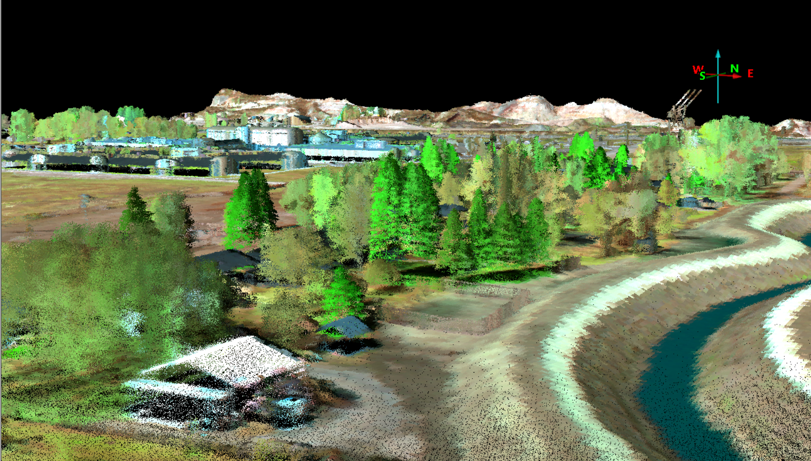
July 3, 2025

ITRES and Leica Geosystems collaborate to deliver unprecedented remote sensing data

News
By Kabir
0 Comments

ITRES has successfully fused data from its SAVI-1000 hyperspectral imaging system with Leica SPL100 single photon LiDAR sensor, combining best-in-class spectral and spatial data for high resolution, high-efficiency remote sensing data. LiDAR shows you where something is down to every rooftop, every ridge, every tree. Hyperspectral reveals surface characteristics such as vegetation type, mineral identification, water quality, even synthetic materials. By fusing Leica SPL100’s dense 3D point clouds with the SAVI-1000’s deep spectral signatures, you don’t just get terrain maps you get terrain intelligence.

Click here for the complete story.

Share

Categories

  • News
  • Video

Recent Posts

  • ITRES and Leica Geosystems collaborate to deliver unprecedented remote sensing data
  • ITRES Achieves AS9100 Certification
Products
  • Sensor Line 1: High Fidelity Hyperspectral Sensor Systems
  • Sensor Line 2: Micro Imagers
  • Sensor Line 3: Sensors For Space (BBM)
  • Airborne Surveys
  • Supporting Products
Latest News
  • INTERGEO – Stuttgart Germany
  • uTABI 640 – C200 Takeoff (uTABI-POV)
  • uCASI 1920 0523 RGB DSM
  • ITRES microCASI microSASI v2
  • ITRES Image Gallery (-2018)
  • uTABI C200 Landing
Follow Us:
Facebook
LinkedIn
Contact Us
Contact
© 2025 ITRES Research Limited All Rights Reserved
Handcrafted by BLKWTR