


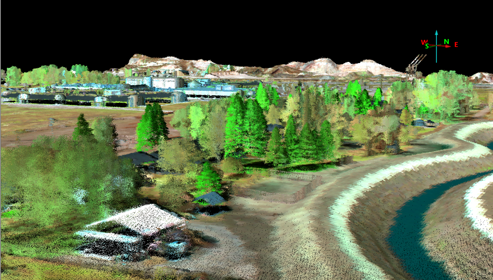
ITRES and Leica Geosystems collaborate to deliver unprecedented remote sensing data
ITRES has successfully fused data from its SAVI-1000 hyperspectral imaging system with Leica SPL100 single photon LiDAR sensor, combining best-in-class spectral and spatial data for high resolution, high-efficiency remote sensing data